
Our Work
The Nature People Network designs and implements community-led conservation systems across ecologically sensitive landscapes in India. Our work focuses on regions where biodiversity, rural livelihoods, and governance intersect — forest–agrarian mosaics in Central India, glacier-fed wetlands in Ladakh, and privately held land parcels functioning as wildlife corridors.
We combine field-based ecological assessments, wildlife documentation, and land-use mapping with formal engagement of Gram Sabhas and Panchayats to establish locally governed conservation frameworks. These include village council sanctuaries, habitat restoration plans, biodiversity monitoring systems, and conservation-linked livelihood pathways.
Rather than treating conservation as exclusionary, our model works within existing democratic institutions to create durable protection mechanisms that are ecologically sound, legally anchored, and socially viable.

GHONGHA RIVER SANCTUARY
In Central India, we supported the declaration of consecutive village council river sanctuaries through Gram Sabha resolutions — creating locally governed conservation zones for water security, biodiversity protection, and sustainable livelihoods.
These sanctuaries demonstrate how Panchayat-led governance can anchor river conservation while generating employment, restoring ecosystems, and strengthening community stewardship.

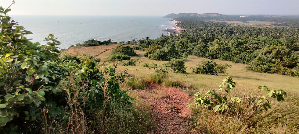
Kargil and The Western Himalayas
At 4,000 meters above sea level in Ladakh, the Rangdum Wetlands form a fragile high-altitude ecosystem supporting rare alpine flora, migratory birds, and species such as the snow leopard.
Our work combines biodiversity documentation, community consultations, and policy advocacy to strengthen long-term protection of this glacier-fed wetland landscape while safeguarding local livelihoods

Central India Landscape
Our Central India landscape supports active sloth bear and striped hyena habitat within a fragmented mosaic of farms and forests. Field surveys have identified den sites and emerging ecological threats across 5,000 sq km of terrain.
By combining scientific assessment with village council–led conservation and restoration planning, we are working to secure long-term ecological stability rooted in local governance.

Rewilding a piece of tiger territory
Adjacent to the buffer of Kanha Tiger Reserve, we are restoring a 5.46-acre parcel functioning as an active tiger movement corridor.
Using native species restoration, invasive removal, and community-based monitoring, this project demonstrates how even small private land parcels can contribute meaningfully to landscape connectivity and coexistence.

Limha Village Council Wildlife Sanctuary
The Limha Wildlife Sanctuary represents a community-led conservation milestone, established through formal Panchayat authority and supported by ecological assessment.
With structured governance through a Wildlife Conservation Committee and regulated resource use, this model integrates biodiversity protection with community rights, compensation mechanisms, and long-term stewardship.

Farmers for 30x30
Farmers for 30x30 works with landholding farmers to restore portions of agricultural land into native ecological systems that enhance biodiversity, improve soil health, and strengthen long-term productivity.
By aligning farm restoration with local governance and landscape ecology, the initiative positions farmers as active partners in achieving India’s biodiversity and climate commitments.